
Mississippi National River
River and Recreation Area Trails
Trail Overview
Region
Twin Cities Metro
Difficulty
Easy to Moderate
Trail Distance
Various interconnected routes (72 miles in total)
Estimated Hike Duration
1-4 hours is typical but varies by section
Elevation Gain
Minimal along river valley terrain
Best Season To Visit
All year, especially spring and fall
Miles of History, Nature, and City Views
Photo above of Mississippi River in fall is courtesy of NPGallery via Wikimedia Commons (CC0 / Public Domain License).
The Mississippi National River and Recreation Area stretches 72 miles through the heart of the Twin Cities, offering a diverse mix of trails, parks, and cultural landmarks along the legendary Mississippi River.
From the quiet wooded paths near Fort Snelling and Minnehaha Falls to the urban riverwalks through downtown Minneapolis and Saint Paul, this national recreation area connects people to nature right in the middle of the city.
The area is jointly managed by the National Park Service and local park systems, featuring miles of trails for walking, biking, and wildlife watching — and plenty of places to stop for scenic river overlooks.
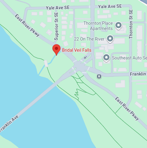
Special note for badge hunters: there are actually several different hikes here that you could go on, but badge is awarded for visiting the Bridal Veil Falls section of the Mississippi National River and Recreation Area — one of several scenic access points along the river.
Badge for this hike:
Example trailhead location