Minnesota Valley State Trail
River Valley Hike (Bloomington Segment Of Hike)
Trail Overview
Region
Twin Cities Metro
Difficulty
Easy to Moderate
Trail Distance
2.1 miles round trip
Estimated Hike Duration
45 minutes - 1 hour
Elevation Gain
Minimal to moderate along river valley
Best Season To Visit
Spring through fall
A Scenic Corridor Along the Minnesota River
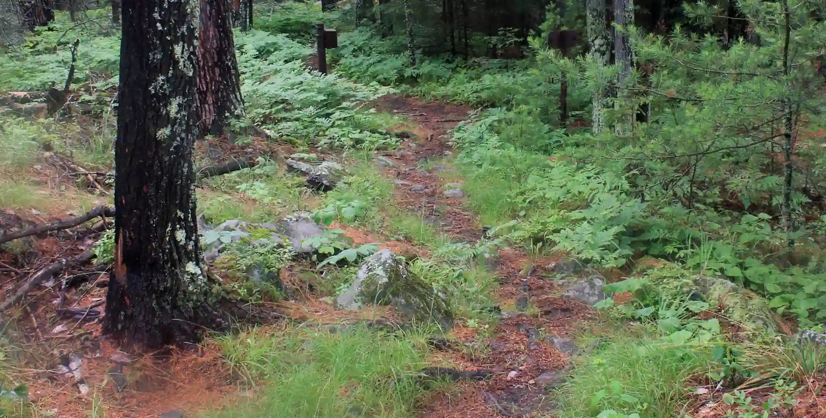
Photo above of hiking trail is courtesy of GoodFreePhotos.com (CC0 / Public Domain License).
The Minnesota Valley State Trail follows the meandering path of the Minnesota River, connecting several natural and historic sites throughout the Twin Cities Metro area.
This long-distance multi-use trail offers a mix of paved and natural surfaces, providing an excellent route for hikers, bikers, and birdwatchers who want to experience the diverse habitats of the river valley — from wetlands and floodplains to prairies and oak savannas.
Multiple access points make it easy to hike short scenic sections or tackle longer stretches between state and local parks. It’s one of the most versatile trails in the entire metro region.
Special note for badge hunters: there are actually several different hikes here in Shakopee, Chaska, and Bloomington, but badge is awarded for visiting the Bloomington segment of the hike.
Badge for this hike:
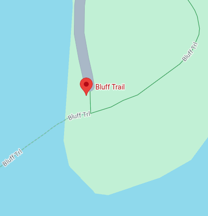
Trailhead location