Minnehaha Regional Park
Minnehaha Creek & Falls Trail
Trail Overview
Region
Twin Cities Metro
Difficulty
Easy
Trail Distance
2.1 miles round trip
Estimated Hike Duration
45 minutes - 1 hour
Elevation Gain
Around 120 feet (minimal)
Best Season To Visit
Spring through fall
A City Icon of Nature and Flowing Water
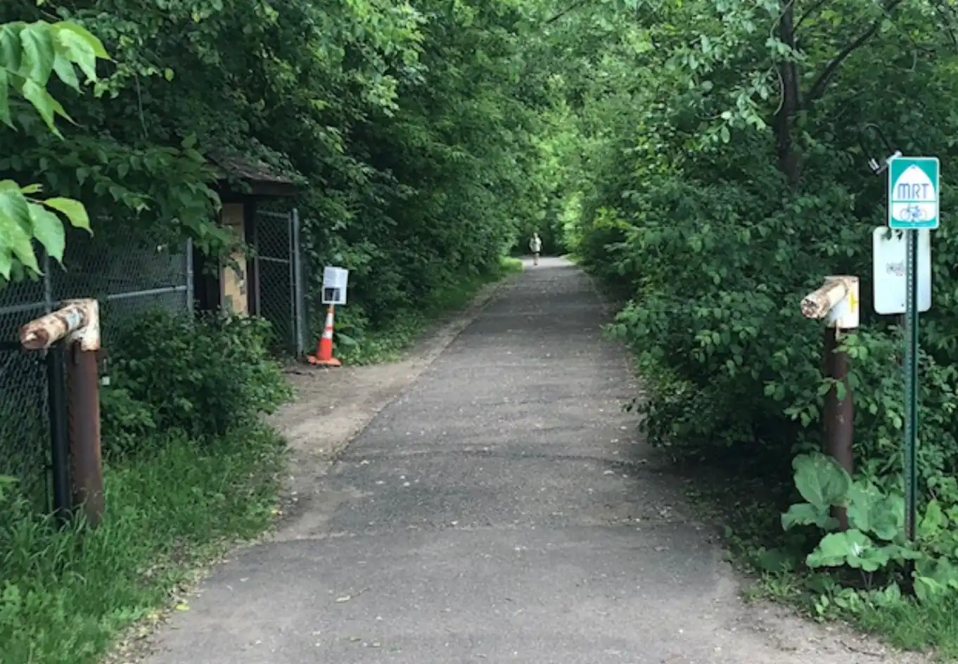
Photo above of Minnehaha Trail (North Entrance) is courtesy of VikingB via Wikimedia Commons (CC BY-SA 4.0 International).
The Minnehaha Creek and Falls Trail is one of Minnesota’s most iconic urban hikes. It begins near the stunning 53-foot Minnehaha Falls and follows Minnehaha Creek through wooded paths to its confluence with the Mississippi River.
Despite being in the heart of Minneapolis, this trail feels like an escape — with waterfalls, limestone bluffs, and a network of shaded trails where city life fades away into the sound of rushing water.
The park’s long history and natural beauty make it a must-hike for residents and visitors alike. It’s a perfect blend of accessibility and tranquility.
Badge for this hike:
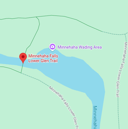
Trailhead location