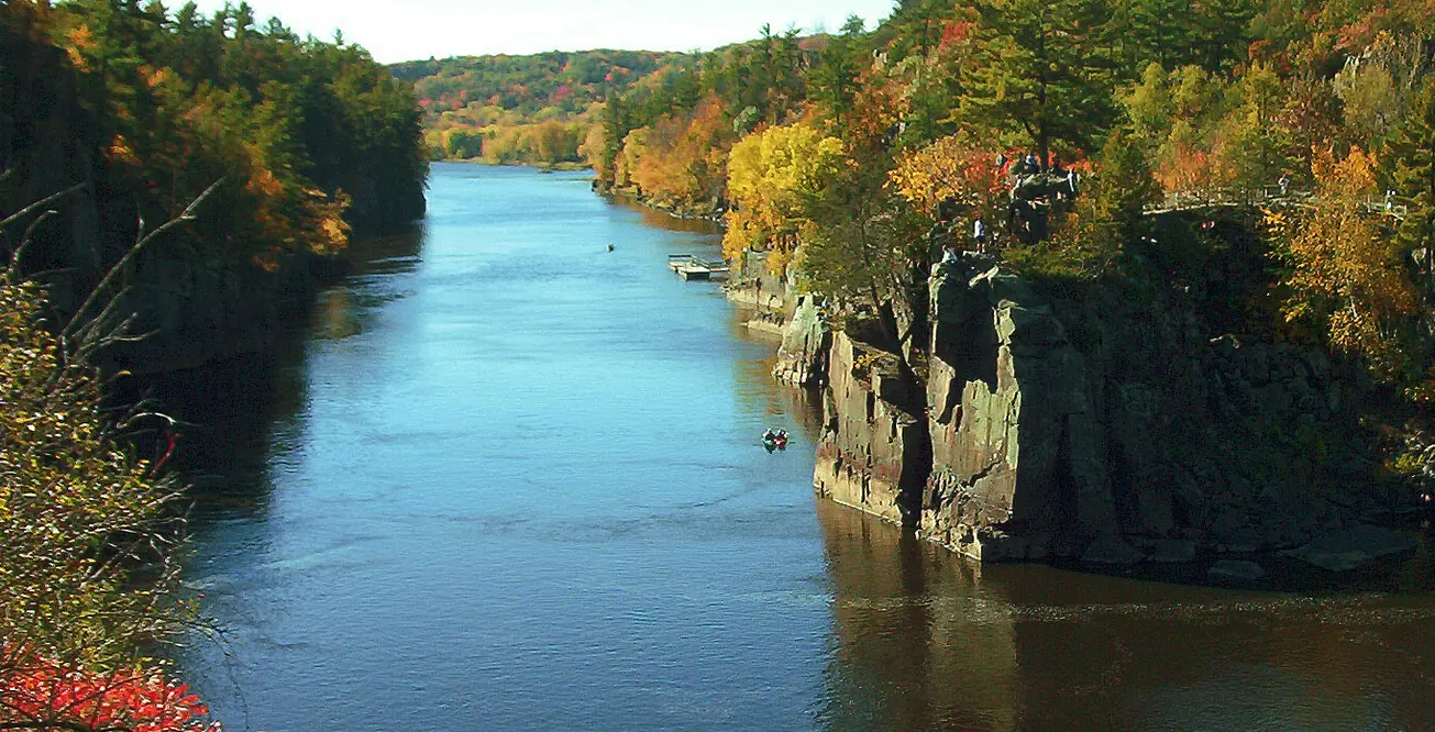
Interstate State Park
Glacial Potholes Trail
Trail Overview
Region
Twin Cities Metro
Difficulty
Easy to Moderate
Trail Distance
0.4 mile loop
Estimated Hike Duration
20-30 minutes
Elevation Gain
Around 75 feet (moderate along rocky terrain)
Best Season To Visit
Summer and fall for best river views
Explore Ancient Geology Along the St. Croix River
Photo above of Interstate State Park is courtesy of 123dieinafire via Wikimedia Commons (Public Domain Image).
The Glacial Potholes Trail takes you through one of Minnesota’s most fascinating geological landmarks — smooth, cylindrical rock formations carved by powerful glacial meltwaters over 10,000 years ago.
The trail follows rocky bluffs above the St. Croix River Dalles, offering incredible views of swirling rapids and steep canyon walls.
It’s a short but unforgettable hike that blends geology, photography, and adventure — a must-see for anyone exploring the Twin Cities Metro’s northern edge.
Badge for this hike:
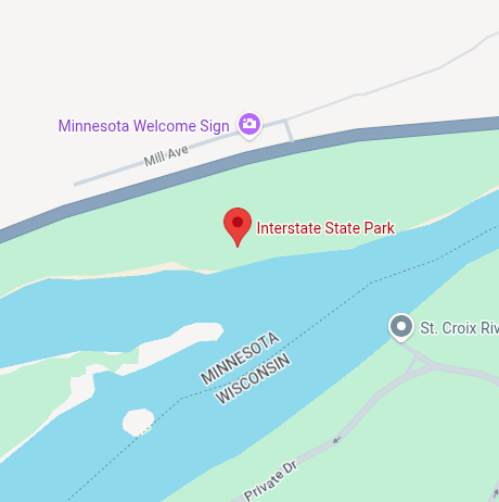
Trailhead location