
Frontenac State Park
Bluff Top Trail
Trail Overview
Region
Southeast
Difficulty
Easy to Moderate
Trail Distance
2.7 miles (loop)
Estimated Hike Duration
1.5 - 2 hours
Elevation Gain
Around 300 feet
Best Season To Visit
Spring through fall
Panoramic Views Over Lake Pepin
Photo of natural limestone arch "In-Yan-Teopa" is courtesy of McGhiever via Wikimedia Commons (CC Attribution - Share Alike 3.0 Unported).
The Bluff Top Trail offers breathtaking overlooks of Lake Pepin, a wide stretch of the Mississippi River.
The trail winds through oak savanna and hardwood forest, revealing panoramic views of Wisconsin’s bluffs across the water.
This is one of Minnesota’s premier birdwatching trails, especially during spring and fall migrations when eagles and hawks soar along the river corridor.
A moderately sloped, well-marked path leads hikers to multiple overlooks and interpretive signs explaining the geology and ecology of the Mississippi River Valley.
Badge for this hike:
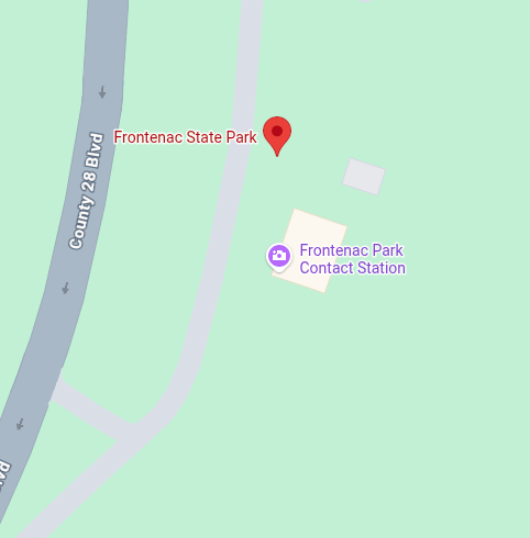
Trailhead location