Temperance River State Park
River Trail
Trail Overview
Region
North Shore
Difficulty
Moderate
Trail Distance
1.5 miles (loop)
Estimated Hike Duration
1 – 1.5 hours
Elevation Gain
Around 200 feet (rolling terrain with stairs)
Best Season To Visit
Spring through fall
A River Named After A Pun
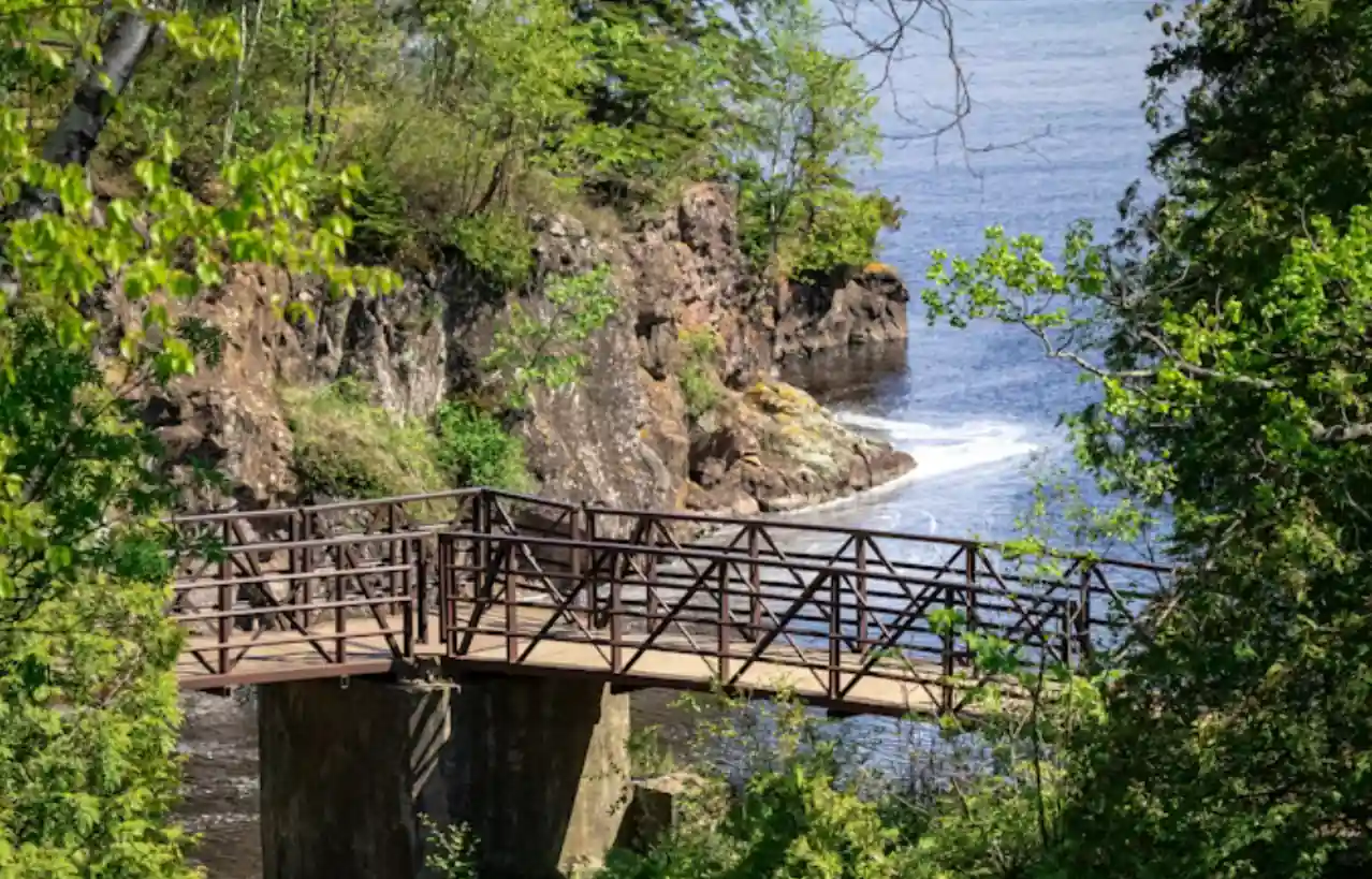
Above photo of bridge at Temperance River State Park is courtesy of Matthew Benoit via Unsplash.
European settlers, who arrived in the 1830s and discovered the river, gave it the name "Temperance" around 1864 because it flowed into Lake Superior without forming a sandbar at its mouth, which was a pun on "no bar".
The Temperance River Gorge Trail follows one of Minnesota’s most dramatic river canyons. The narrow gorge was carved by rushing water through ancient volcanic rock, creating deep potholes and smooth basalt walls visible from the overlooks.
The main path loops along both sides of the river, crossing bridges with views of waterfalls, chutes, and whirlpools before continuing toward Lake Superior.
This short but spectacular hike showcases the raw power and beauty of the North Shore landscape.
Badge for this hike:
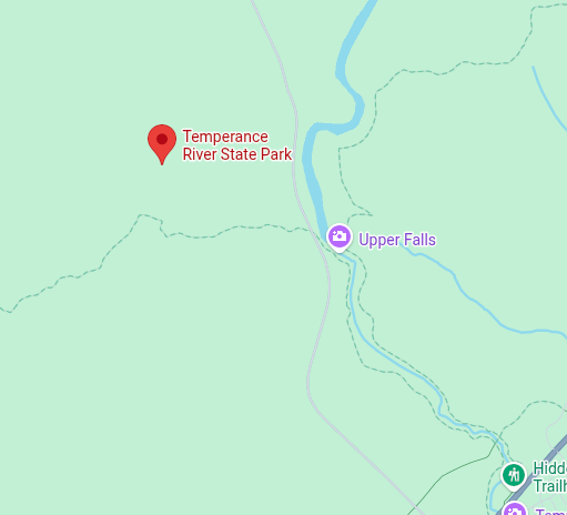
Trailhead location