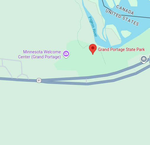

Grand Portage State Park
High Falls Trail (Pigeon River)
Trail Overview
Region
North Shore
Difficulty
Easy
Trail Distance
0.6 miles (one way)
Estimated Hike Duration
30 minutes round trip (allow extra time for viewpoints)
Elevation Gain
About 60 ft — gentle forest climb to the 120-ft High Falls overlook
Best Season To Visit
Late spring through fall
Minnesota’s Tallest Waterfall
Photo above of boardwalk at Grand Portage State Park is courtesy of Tony Webster via Wikimedia Commons (CC Share Alike 2.0 Generic).
This short, paved trail leads to the breathtaking High Falls of the Pigeon River, Minnesota’s tallest waterfall at over 120 feet. The path is fully accessible and offers multiple overlook decks with dramatic views.
Interpretive signs along the way share Ojibwe cultural history, local wildlife, and the story of the Grand Portage trail that once linked fur traders to Lake Superior.
This hike is ideal for families, photographers, and anyone seeking one of Minnesota’s most impressive natural landmarks.
Badge for this hike:
Trailhead location