Savanna Portage State Park
Old Military Road Trail
Trail Overview
Region
Central
Difficulty
Moderate
Trail Distance
3.5 miles (one way)
Estimated Hike Duration
2 – 2.5 hours (one way)
Elevation Gain
Around 180 feet
Best Season To Visit
Late spring through fall
Walk Through History and Wilderness
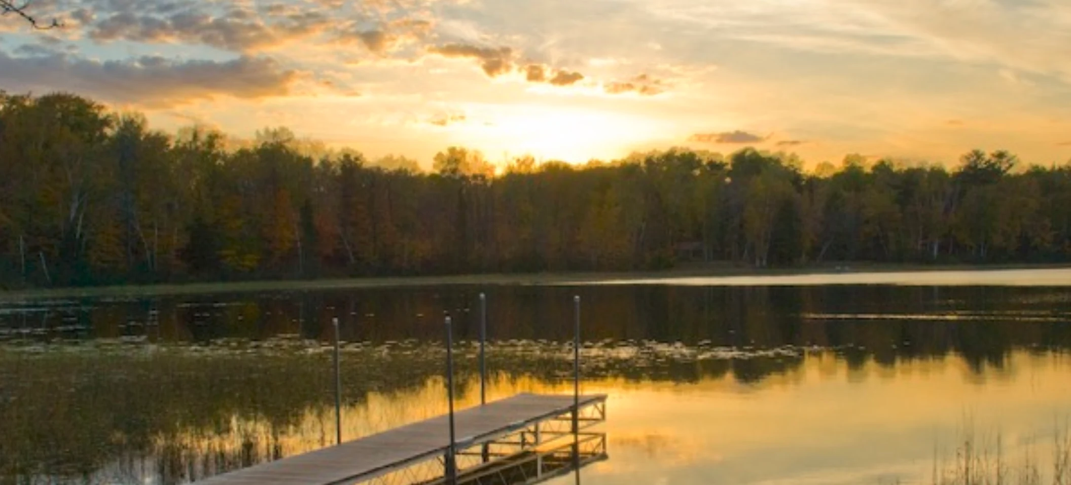
Photo of dock at Savanna Portage State Park is courtesy of Tim Dachtera via Wikimedia Commons (CC Attribution 2.0 Generic).
The Old Military Road Trail follows a route carved out in the 1800s to connect Lake Superior with the Mississippi River.
Today, it winds through quiet forests, wetlands, and glacial ridges in one of Minnesota’s most remote state parks.
Expect a mix of boardwalks, dirt paths, and forest terrain with occasional historical markers and interpretive signs.
Ideal for those seeking solitude, birdwatching, and a sense of deep connection with Minnesota’s natural and cultural past.
Badge for this hike:
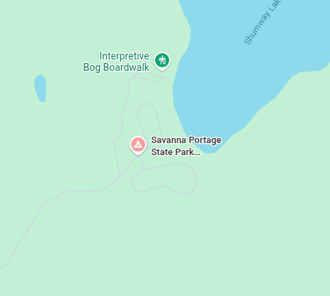
Trailhead location