Crow Wing State Park
Old Wadena Trail
Trail Overview
Region
Central
Difficulty
Easy
Trail Distance
2.0 miles (round trip)
Estimated Hike Duration
45 – 60 minutes
Elevation Gain
Around 60 ft
Best Season To Visit
Late spring through fall
Where History and Rivers Meet
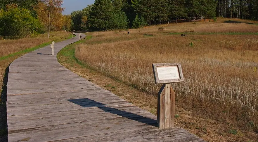
Photo above of Crow Wing State Park is courtesy of McGhiever via Wikimedia Commons (CC BY-Share Alike 3.0 Unported).
The Old Wadena Trail explores the historic site of the town of Old Crow Wing, once a bustling trading post where the Crow Wing and Mississippi Rivers meet. Today, the trail winds through peaceful woods and along the water’s edge.
Interpretive signs along the trail tell stories of the Dakota and Ojibwe people, early fur traders, and settlers who shaped the region. The walk offers a quiet connection to Minnesota’s frontier past.
A gentle, family-friendly trail with minimal elevation gain and plenty of shade, making it ideal for a relaxing hike or a peaceful picnic stop.
Badge for this hike:
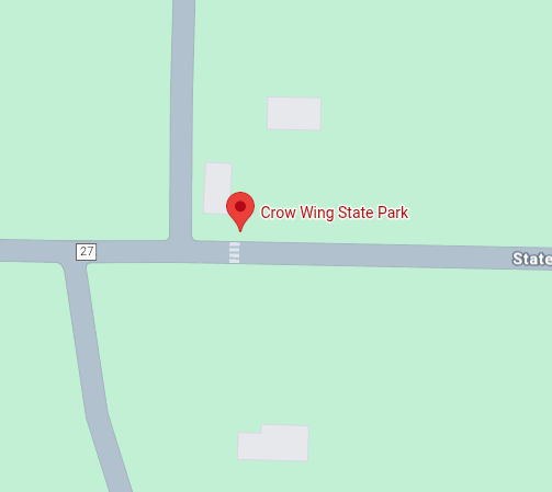
Trailhead location